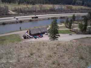
181 ac +/- with near ONE MILE of river frontage 30 miles east of Missoula, MT
Game Fish Opportunities:
Brook Trout, Brown Trout, Mountain Whitefish, Northern Pike, Rainbow Trout, Smallmouth Bass, Westslope Cutthroat Trout, Yellow Perch
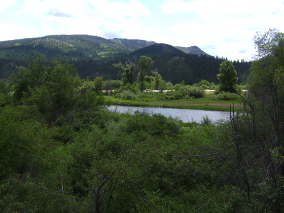
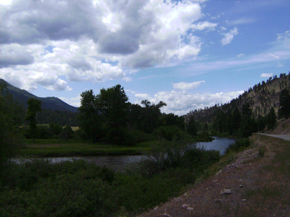
The Clark Fork River has its headwaters in the Silver Bow (or Highland) Mountains, originating at the confluence of Silver Bow and Warm Springs creeks near Anaconda, Montana. The river flows north and west 350 miles through broad, semi-arid valleys, high mountain ranges, and steep-sided valleys and terminates in Lake Pend Oreille, Idaho. The Upper Clark Fork, bordered on the north by the Garnet Range and on the south by the Flint Creek Range, meanders most of its first 38 miles through the flat plains of the Deer Lodge Valley. Vegetation is sparse, due partly to the effects of the mining boom, the greatest historical influence in the Upper Basin. Downstream from the mouth of the Little Blackfoot River, the river flows through a steep, narrow canyon. Between Garrison and Jens the river channel has been shortened by highway and railroad construction activities, but past Jens the Clark Fork meanders away from the transportation corridor and native trees and shrubs appear along its banks.
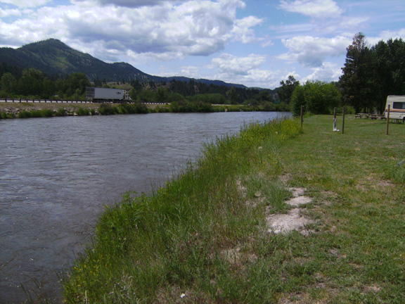
From below Flint Creek the river runs 26 miles through Bearmouth Canyon to emerge and widen to 150 feet for its final miles to Milltown Reservoir. The Middle Clark Fork River extends about 115 river miles from Milltown Dam to its confluence with the Flathead River and is entirely free flowing. Its drainage is mountainous and covered with large forested tracts, broken by grazing and cropland areas in the lower valleys. From Thompson Falls Dam, its upper boundary, the Lower Clark Fork River flows through sedimentary formations and a landscape sculptured by the massive outflows of glacial Lake Missoula. It runs into Cabinet Gorge Dam, just outside the Montana border. Between the backwaters of Cabinet Gorge and the tailwaters of Thompson Falls Dam the river is inundated by Noxon Rapids Dam. When the Clark Fork crosses the Idaho border, it is Montana’s largest river, carrying an average 22,060 cubic feet of water per second.
Total Length: 327 miles